PayPal, credit cards. Download editable-PDF and invoice in 1 second!
DZ/T 0175-2014 English PDF (DZT0175-2014)
DZ/T 0175-2014 English PDF (DZT0175-2014)
Precio habitual
$305.00 USD
Precio habitual
Precio de oferta
$305.00 USD
Precio unitario
/
por
Los gastos de envío se calculan en la pantalla de pago.
No se pudo cargar la disponibilidad de retiro
Delivery: 3 seconds. Download true-PDF + Invoice.
Get QUOTATION in 1-minute: Click DZ/T 0175-2014
Historical versions: DZ/T 0175-2014
Preview True-PDF (Reload/Scroll if blank)
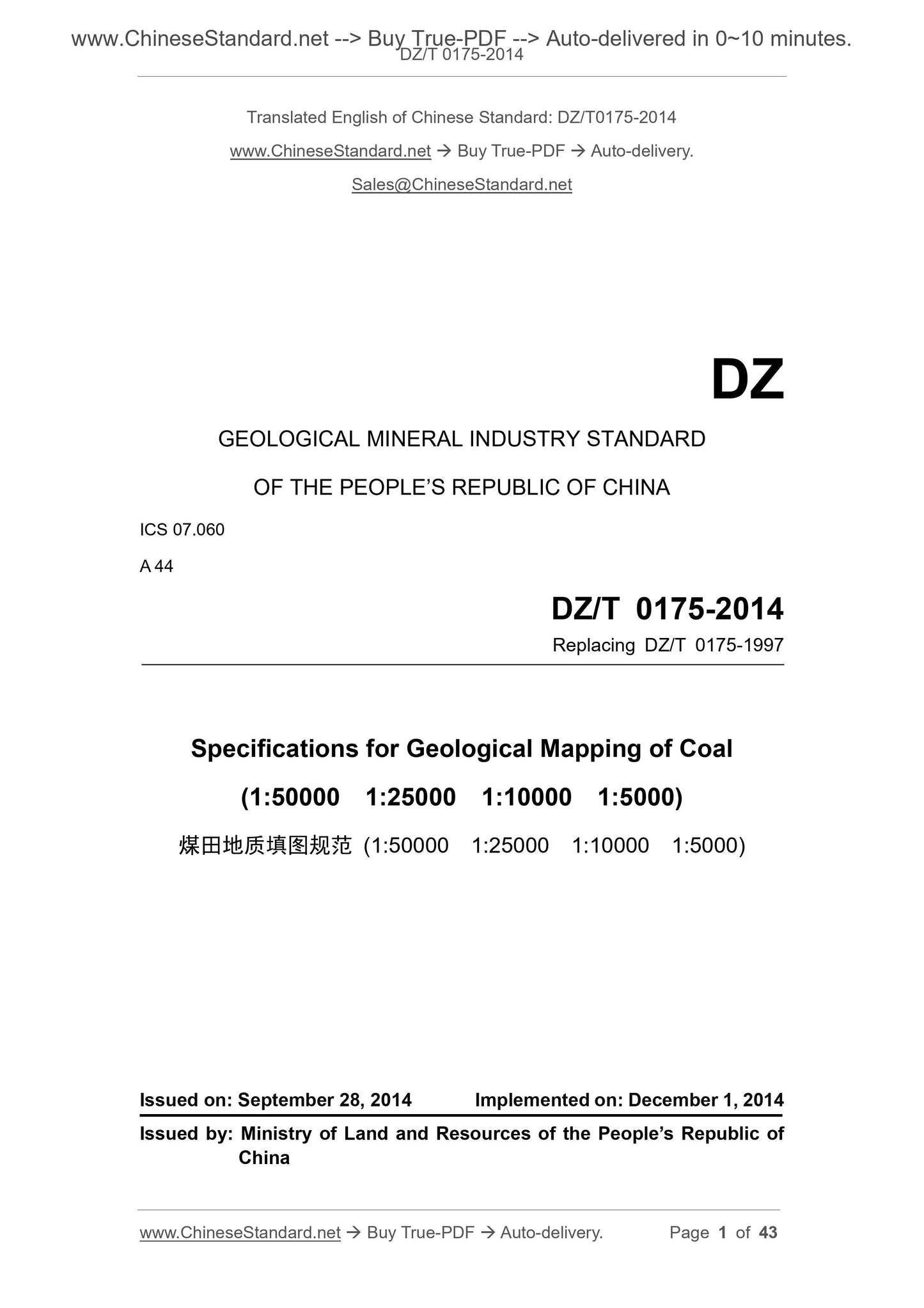
DZ/T 0175-2014: Specifications for geological mapping of coal
DZ/T 0175-2014
GEOLOGICAL MINERAL INDUSTRY STANDARD
OF THE PEOPLE’S REPUBLIC OF CHINA
ICS 07.060
A 44
Replacing DZ/T 0175-1997
Specifications for Geological Mapping of Coal
(1:50000 1:25000 1:10000 1:5000)
ISSUED ON: SEPTEMBER 28, 2014
IMPLEMENTED ON: DECEMBER 1, 2014
Issued by: Ministry of Land and Resources of the People’s Republic of
China
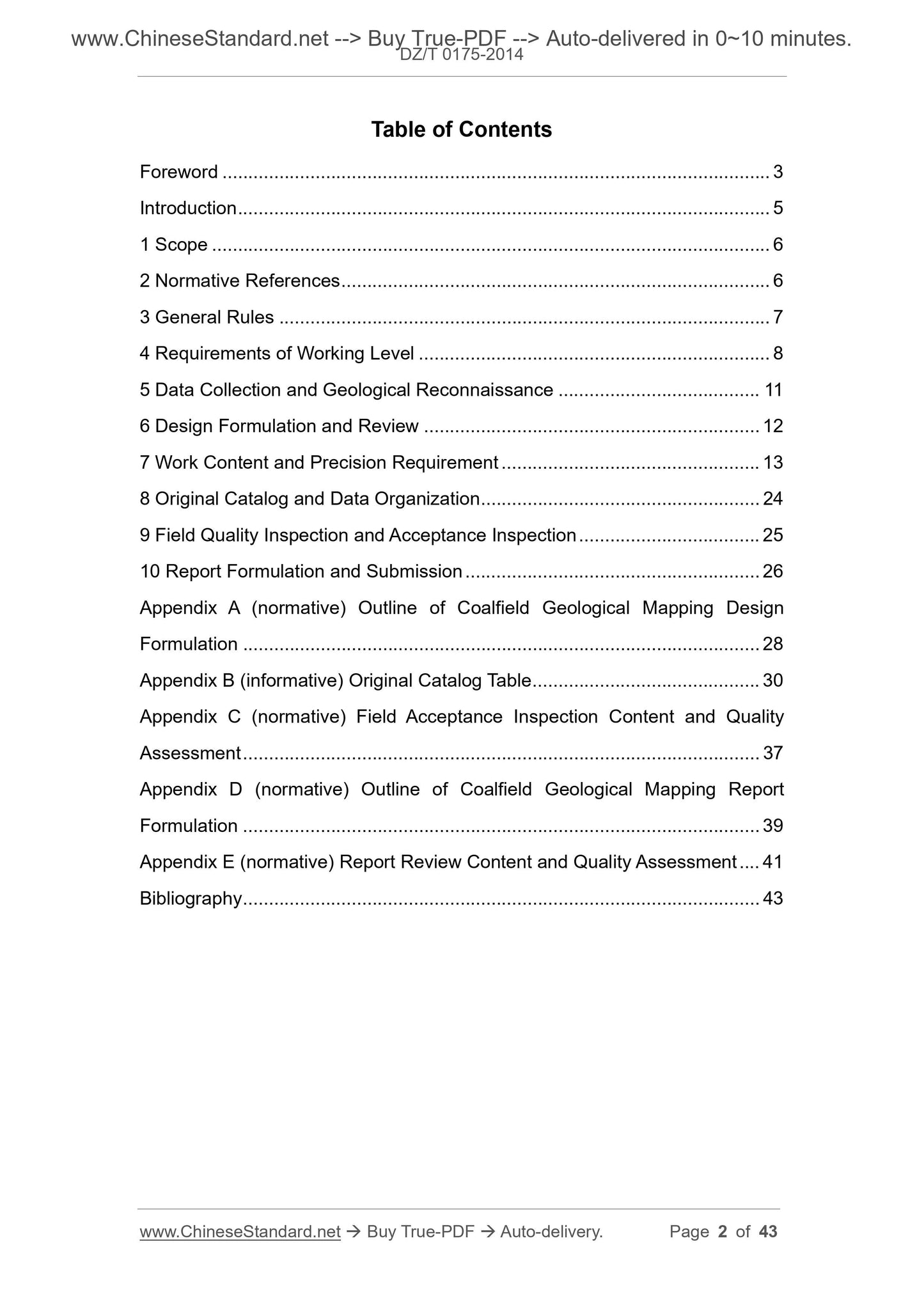
Table of Contents
Foreword ... 3
Introduction ... 5
1 Scope ... 6
2 Normative References ... 6
3 General Rules ... 7
4 Requirements of Working Level ... 8
5 Data Collection and Geological Reconnaissance ... 11
6 Design Formulation and Review ... 12
7 Work Content and Precision Requirement ... 13
8 Original Catalog and Data Organization ... 24
9 Field Quality Inspection and Acceptance Inspection ... 25
10 Report Formulation and Submission ... 26
Appendix A (normative) Outline of Coalfield Geological Mapping Design
Formulation ... 28
Appendix B (informative) Original Catalog Table ... 30
Appendix C (normative) Field Acceptance Inspection Content and Quality
Assessment ... 37
Appendix D (normative) Outline of Coalfield Geological Mapping Report
Formulation ... 39
Appendix E (normative) Report Review Content and Quality Assessment ... 41
Bibliography ... 43
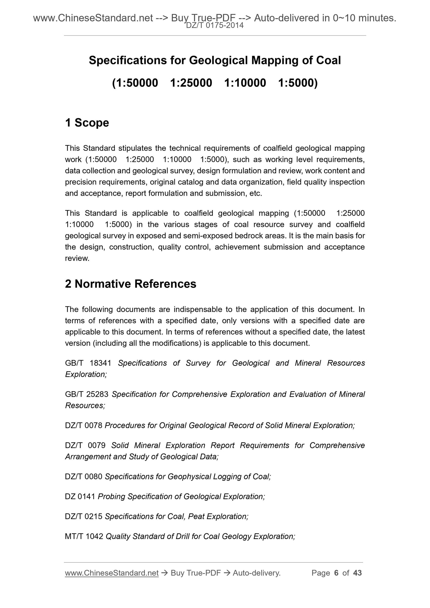
Specifications for Geological Mapping of Coal
(1:50000 1:25000 1:10000 1:5000)
1 Scope
This Standard stipulates the technical requirements of coalfield geological mapping
work (1:50000 1:25000 1:10000 1:5000), such as working level requirements,
data collection and geological survey, design formulation and review, work content and
precision requirements, original catalog and data organization, field quality inspection
and acceptance, report formulation and submission, etc.
This Standard is applicable to coalfield geological mapping (1:50000 1:25000
1:10000 1:5000) in the various stages of coal resource survey and coalfield
geological survey in exposed and semi-exposed bedrock areas. It is the main basis for
the design, construction, quality control, achievement submission and acceptance
review.
2 Normative References
The following documents are indispensable to the application of this document. In
terms of references with a specified date, only versions with a specified date are
applicable to this document. In terms of references without a specified date, the latest
version (including all the modifications) is applicable to this document.
GB/T 18341 Specifications of Survey for Geological and Mineral Resources
Exploration;
GB/T 25283 Specification for Comprehensive Exploration and Evaluation of Mineral
Resources;
DZ/T 0078 Procedures for Original Geological Record of Solid Mineral Exploration;
DZ/T 0079 Solid Mineral Exploration Report Requirements for Comprehensive
Arrangement and Study of Geological Data;
DZ/T 0080 Specifications for Geophysical Logging of Coal;
DZ 0141 Probing Specification of Geological Exploration;
DZ/T 0215 Specifications for Coal, Peat Exploration;
MT/T 1042 Quality Standard of Drill for Coal Geology Exploration;
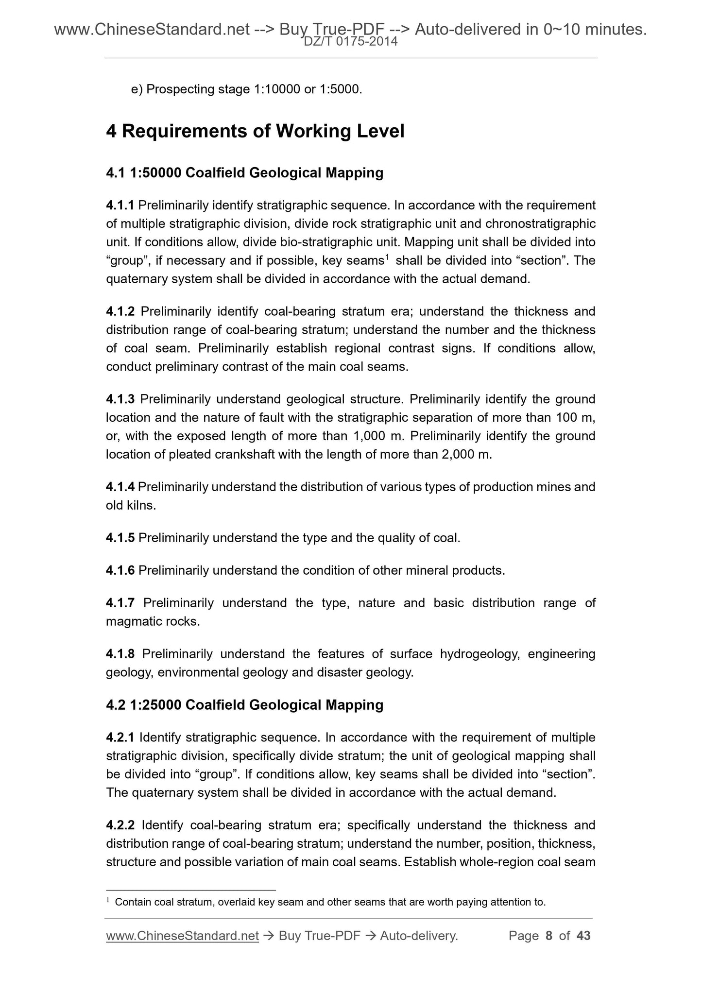
e) Prospecting stage 1:10000 or 1:5000.
4 Requirements of Working Level
4.1 1:50000 Coalfield Geological Mapping
4.1.1 Preliminarily identify stratigraphic sequence. In accordance with the requirement
of multiple stratigraphic division, divide rock stratigraphic unit and chronostratigraphic
unit. If conditions allow, divide bio-stratigraphic unit. Mapping unit shall be divided into
“group”, if necessary and if possible, key seams1 shall be divided into “section”. The
quaternary system shall be divided in accordance with the actual demand.
4.1.2 Preliminarily identify coal-bearing stratum era; understand the thickness and
distribution range of coal-bearing stratum; understand the number and the thickness
of coal seam. Preliminarily establish regional contrast signs. If conditions allow,
conduct preliminary contrast of the main coal seams.
4.1.3 Preliminarily understand geological structure. Preliminarily identify the ground
location and the nature of fault with the stratigraphic separation of more than 100 m,
or, with the exposed length of more than 1,000 m. Preliminarily identify the ground
location of pleated crankshaft with the length of more than 2,000 m.
4.1.4 Preliminarily understand the distribution of various types of production mines and
old kilns.
4.1.5 Preliminarily understand the type and the quality of coal.
4.1.6 Preliminarily understand the condition of other mineral products.
4.1.7 Preliminarily understand the type, nature and basic distribution range of
magmatic rocks.
4.1.8 Preliminarily understand the features of surface hydrogeology, engineering
geology, environmental geology and disaster geology.
4.2 1:25000 Coalfield Geological Mapping
4.2.1 Identify stratigraphic sequence. In accordance with the requirement of multiple
stratigraphic division, specifically divide stratum; the unit of geological mapping shall
be divided into “group”. If conditions allow, key seams shall be divided into “section”.
The quaternary system shall be divided in accordance with the actual demand.
4.2.2 Identify coal-bearing stratum era; specifically understand the thickness and
distribution range of coal-bearing stratum; understand the number, position, thickness,
structure and possible variation of main coal seams. Establish whole-region coal seam
1 Contain coal stratum, overlaid key seam and other seams that are worth paying attention to.
rocks. Preliminary understand the influence of magmatic rocks on coal seams and coal
quality.
4.3.8 Understand the features of surface hydrogeology, engineering geology,
environmental geology and disaster geology. Preliminarily identify the location of
flooding line of main rivers.
4.4 1:5000 Coalfield Geological Mapping
4.4.1 In accordance with the requirement of multiple stratigraphic division, specifically
divide the stratum. The unit of geological mapping shall be divided into “group”; key
seams shall be divided into “section” or “sub-section” (or “seam”, “belt”). Other stratums
may be divided in accordance with the actual demand.
4.4.2 Specifically study coal-rock seam contrast; preliminary identify the number,
position, thickness, structure and surface variation rule of exploitable coal seams.
Establish contrast signs (including regional signs) of various coal seams; whole-
regional exploitable coal seams shall be clearly contrasted; mostly exploitable coal
seams and partially exploitable coal seams shall be basically contrasted. Estimate the
main exploitable coal seams of resources/reserves. In principle, the exposure site of
coal seam shall be actually measured. If conditions allow, the main marker seam shall
be actually measured.
4.4.3 Preliminary identify the features of geological structure. Preliminarily identify the
ground location and the nature of fault with the stratigraphic separation that equals to
or is more than 20 m (15 m ~ 10 m under good geological conditions), and, pleated
crankshaft with the exposed length of more than 100 m. Fault whose stratigraphic
separation is less than 20 m (10 m under good geological conditions) in work shall be
added to geological map; try to identify its ground location and nature. In terms of small
structures (joints and cracks, etc.), conduct observation and description.
4.4.4 Specifically survey the distribution and exploitation of various types of production
mines and old kilns; understand the range and water accumulation of ol...
Share
