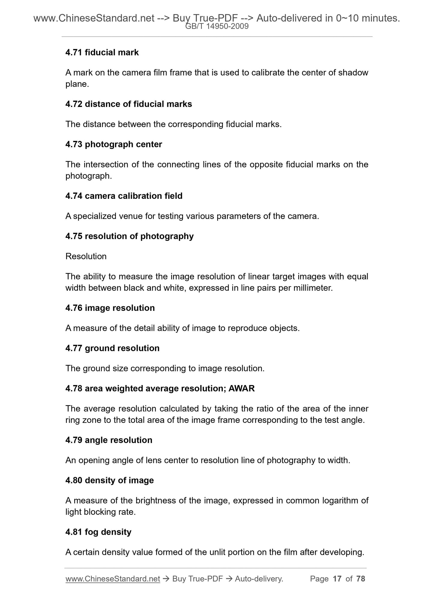
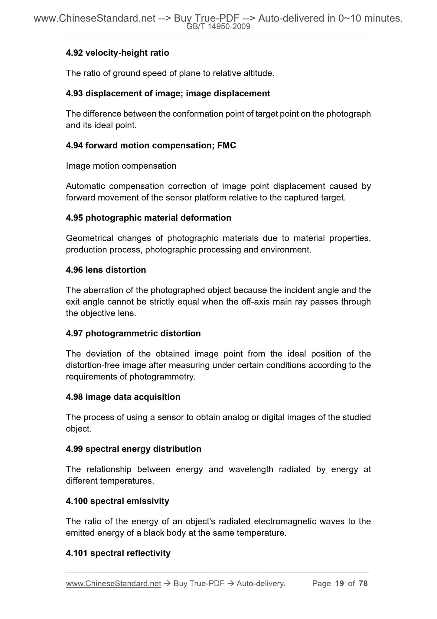
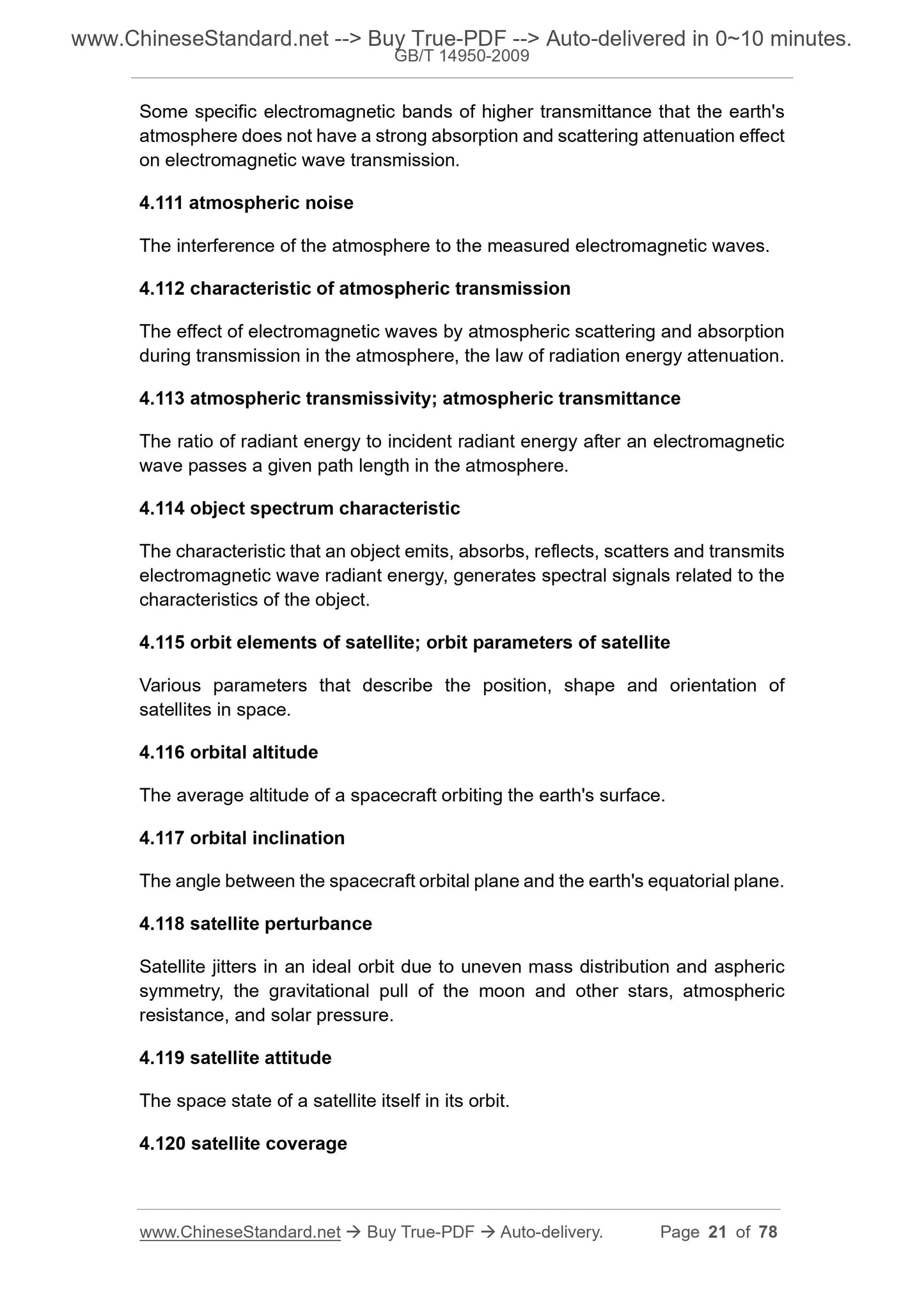
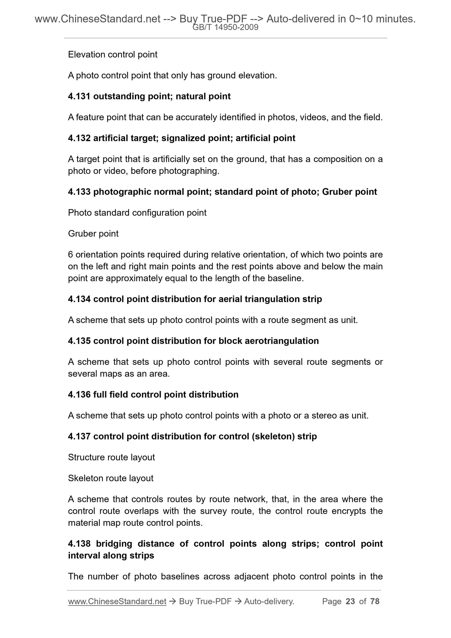
1
/
of
12
PayPal, credit cards. Download editable-PDF and invoice in 1 second!
GB/T 14950-2009 English PDF (GBT14950-2009)
GB/T 14950-2009 English PDF (GBT14950-2009)
Regular price
$630.00 USD
Regular price
Sale price
$630.00 USD
Unit price
/
per
Shipping calculated at checkout.
Couldn't load pickup availability
Delivery: 3 seconds. Download true-PDF + Invoice.
Get QUOTATION in 1-minute: Click GB/T 14950-2009
Historical versions: GB/T 14950-2009
Preview True-PDF (Reload/Scroll if blank)
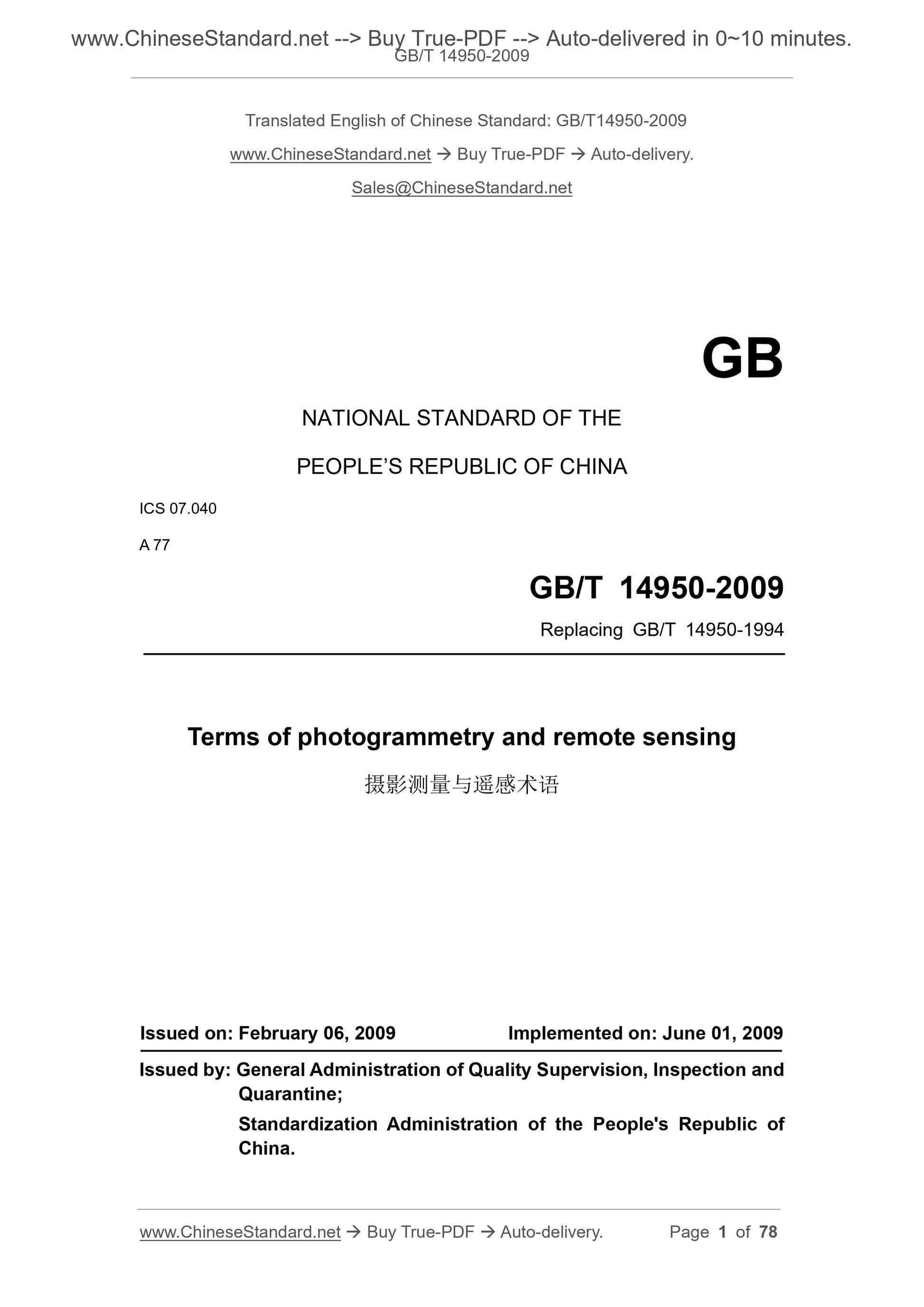
GB/T 14950-2009: Terms of photogrammetry and remote sensing
GB/T 14950-2009
NATIONAL STANDARD OF THE
PEOPLE’S REPUBLIC OF CHINA
ICS 07.040
A 77
Replacing GB/T 14950-1994
Terms of photogrammetry and remote sensing
ISSUED ON: FEBRUARY 06, 2009
IMPLEMENTED ON: JUNE 01, 2009
Issued by: General Administration of Quality Supervision, Inspection and
Quarantine;
Standardization Administration of the People's Republic of
China.
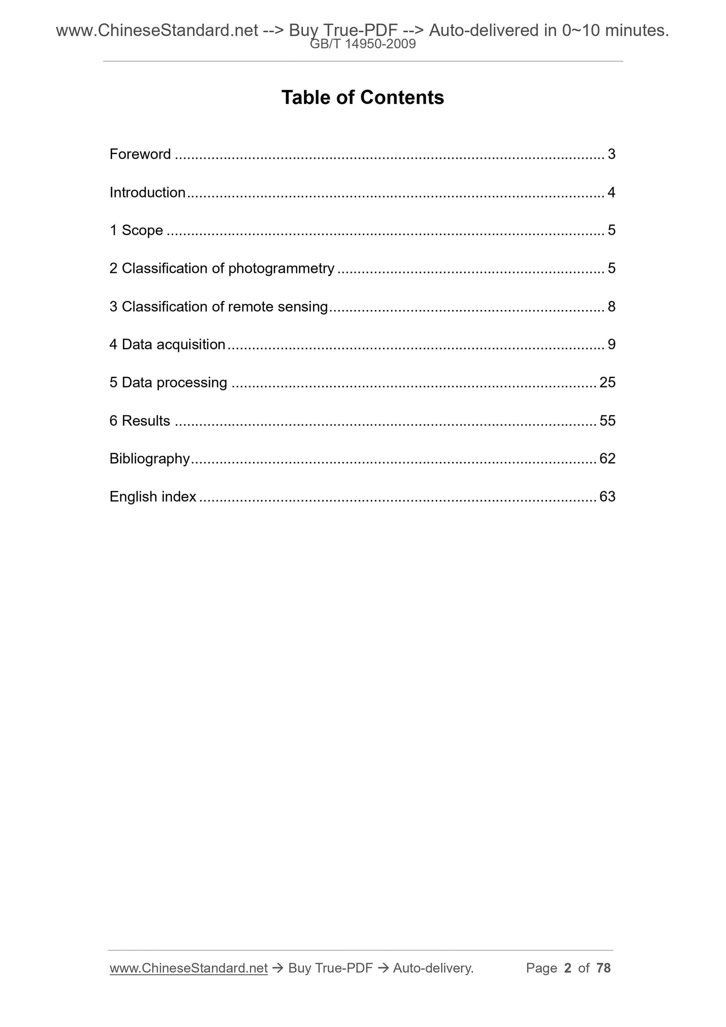
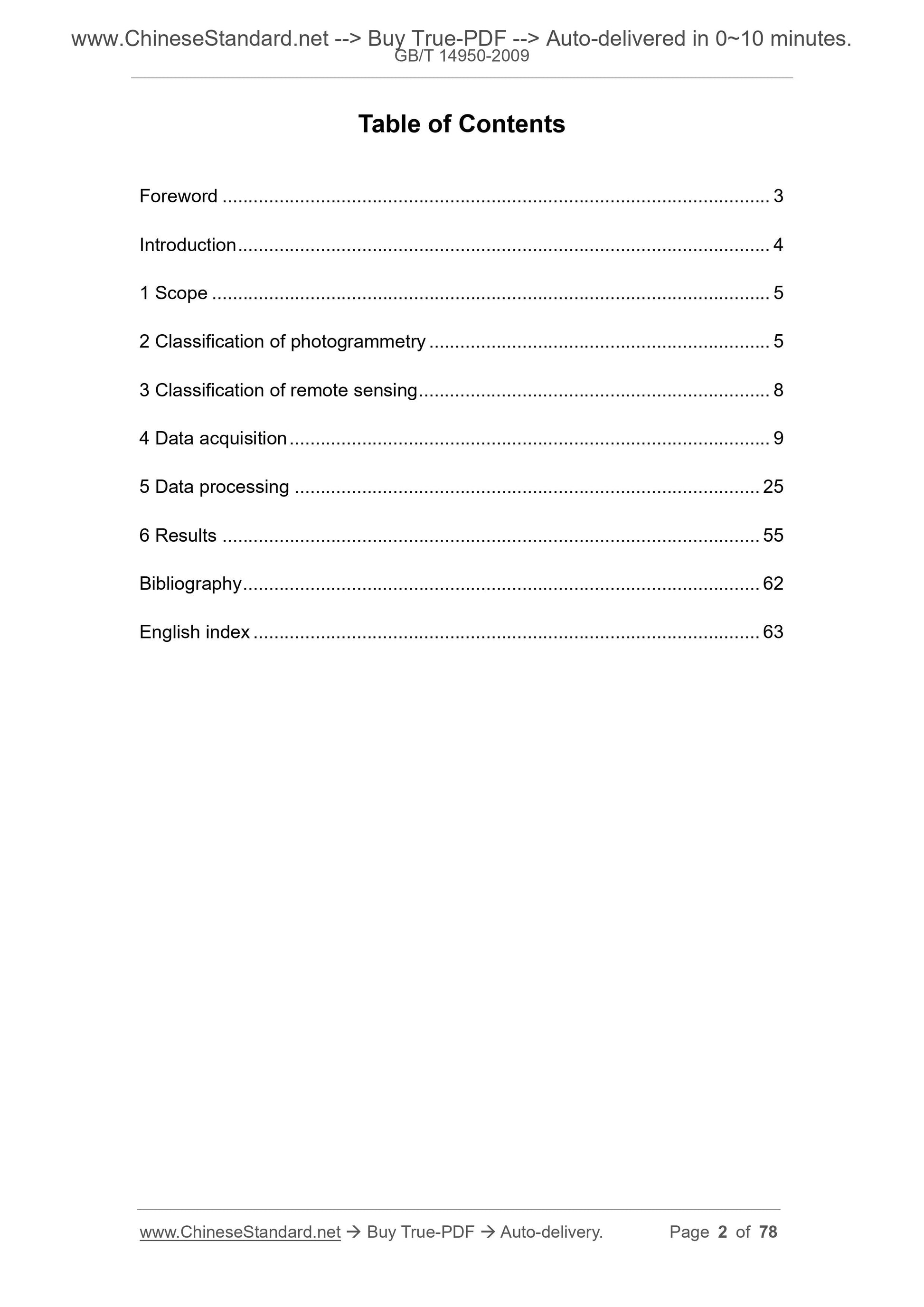
Table of Contents
Foreword ... 3
Introduction ... 4
1 Scope ... 5
2 Classification of photogrammetry ... 5
3 Classification of remote sensing ... 8
4 Data acquisition ... 9
5 Data processing ... 25
6 Results ... 55
Bibliography ... 62
English index ... 63
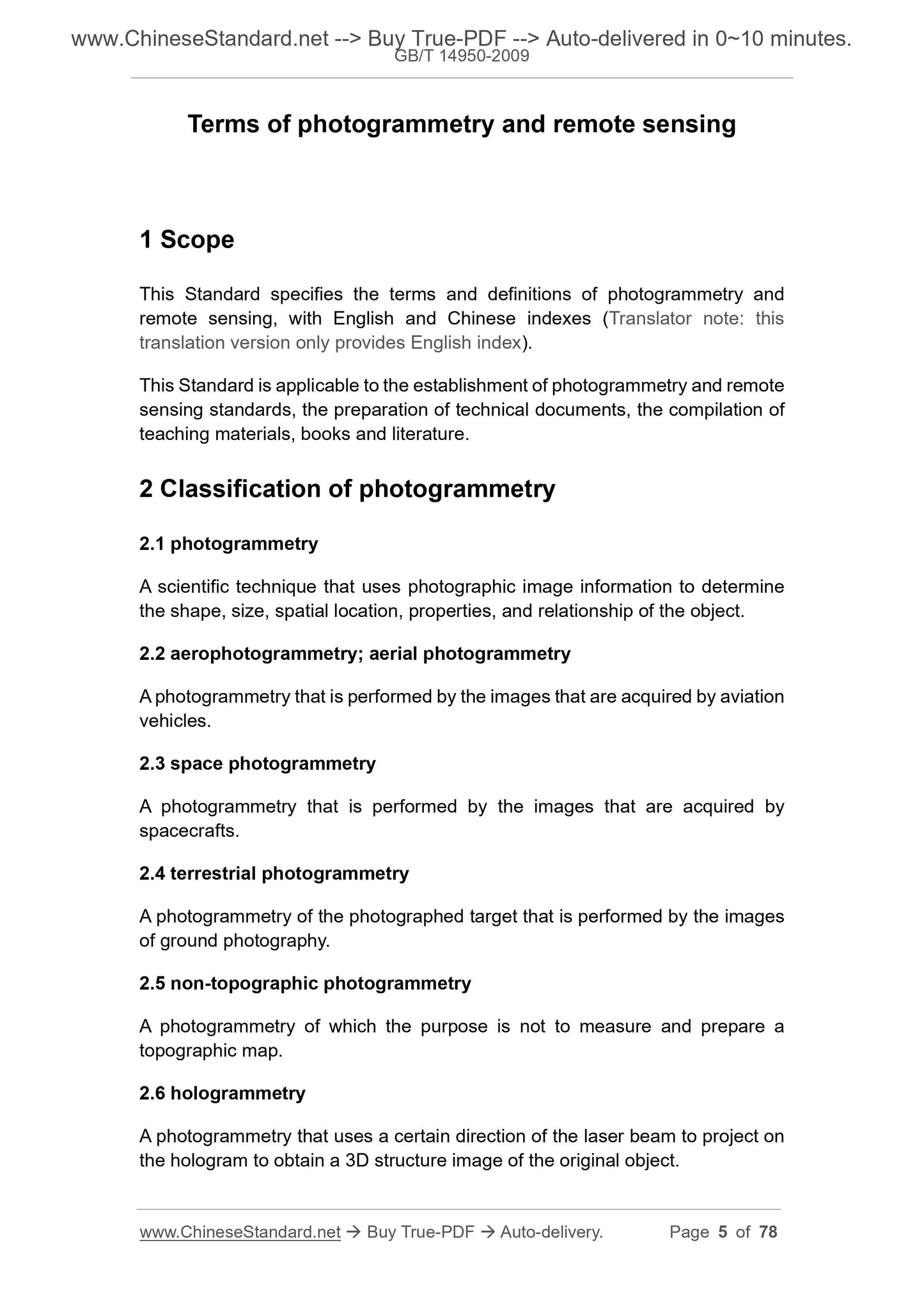
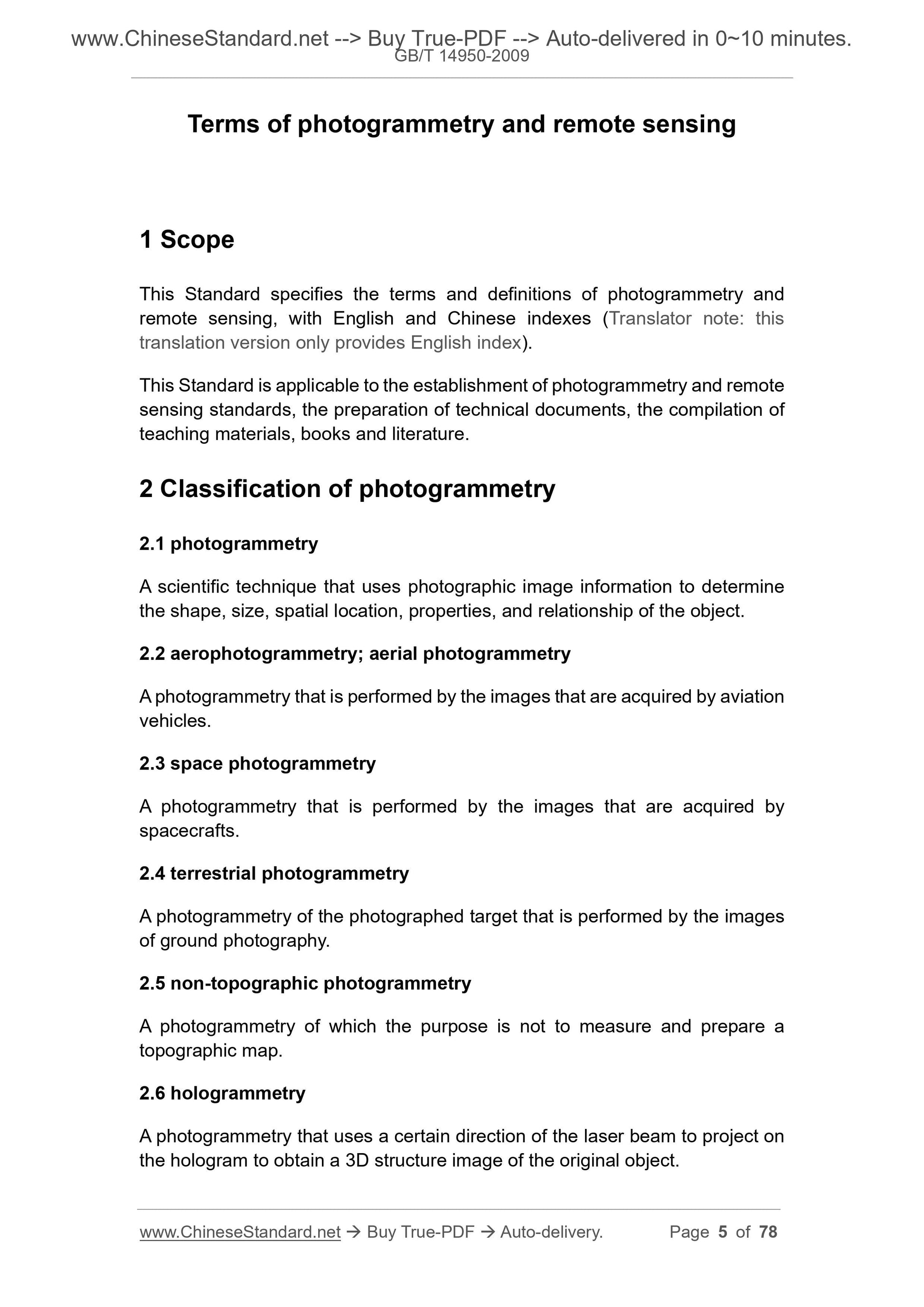
Terms of photogrammetry and remote sensing
1 Scope
This Standard specifies the terms and definitions of photogrammetry and
remote sensing, with English and Chinese indexes (Translator note: this
translation version only provides English index).
This Standard is applicable to the establishment of photogrammetry and remote
sensing standards, the preparation of technical documents, the compilation of
teaching materials, books and literature.
2 Classification of photogrammetry
2.1 photogrammetry
A scientific technique that uses photographic image information to determine
the shape, size, spatial location, properties, and relationship of the object.
2.2 aerophotogrammetry; aerial photogrammetry
A photogrammetry that is performed by the images that are acquired by aviation
vehicles.
2.3 space photogrammetry
A photogrammetry that is performed by the images that are acquired by
spacecrafts.
2.4 terrestrial photogrammetry
A photogrammetry of the photographed target that is performed by the images
of ground photography.
2.5 non-topographic photogrammetry
A photogrammetry of which the purpose is not to measure and prepare a
topographic map.
2.6 hologrammetry
A photogrammetry that uses a certain direction of the laser beam to project on
the hologram to obtain a 3D structure image of the original object.
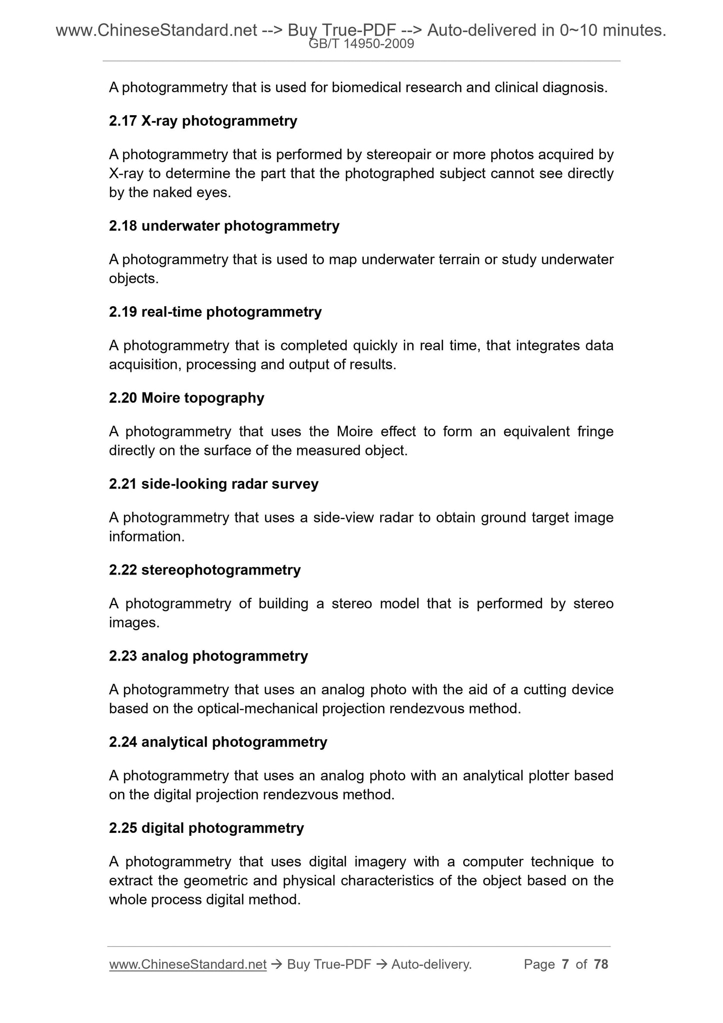
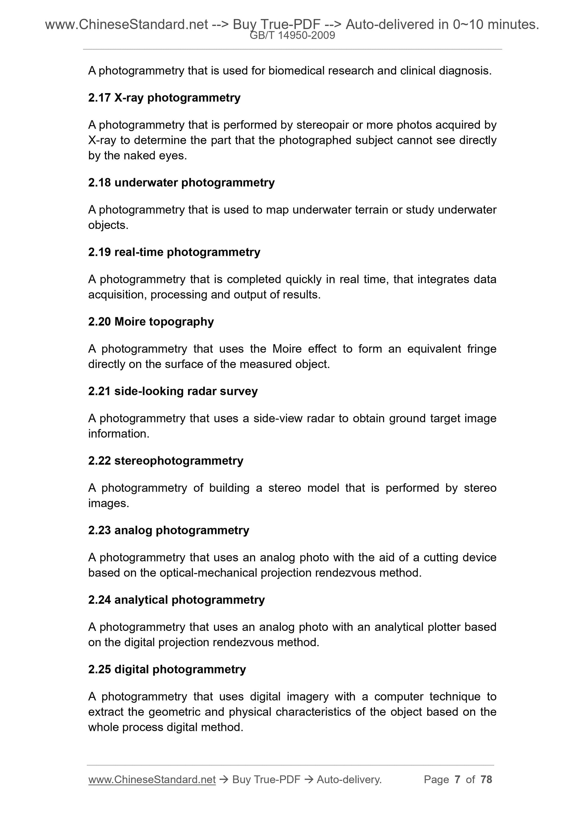
A photogrammetry that is used for biomedical research and clinical diagnosis.
2.17 X-ray photogrammetry
A photogrammetry that is performed by stereopair or more photos acquired by
X-ray to determine the part that the photographed subject cannot see directly
by the naked eyes.
2.18 underwater photogrammetry
A photogrammetry that is used to map underwater terrain or study underwater
objects.
2.19 real-time photogrammetry
A photogrammetry that is completed quickly in real time, that integrates data
acquisition, processing and output of results.
2.20 Moire topography
A photogrammetry that uses the Moire effect to form an equivalent fringe
directly on the surface of the measured object.
2.21 side-looking radar survey
A photogrammetry that uses a side-view radar to obtain ground target image
information.
2.22 stereophotogrammetry
A photogrammetry of building a stereo model that is performed by stereo
images.
2.23 analog photogrammetry
A photogrammetry that uses an analog photo with the aid of a cutting device
based on the optical-mechanical projection rendezvous method.
2.24 analytical photogrammetry
A photogrammetry that uses an analog photo with an analytical plotter based
on the digital projection rendezvous method.
2.25 digital photogrammetry
A photogrammetry that uses digital imagery with a computer technique to
extract the geometric and physical characteristics of the object based on the
whole process digital method.
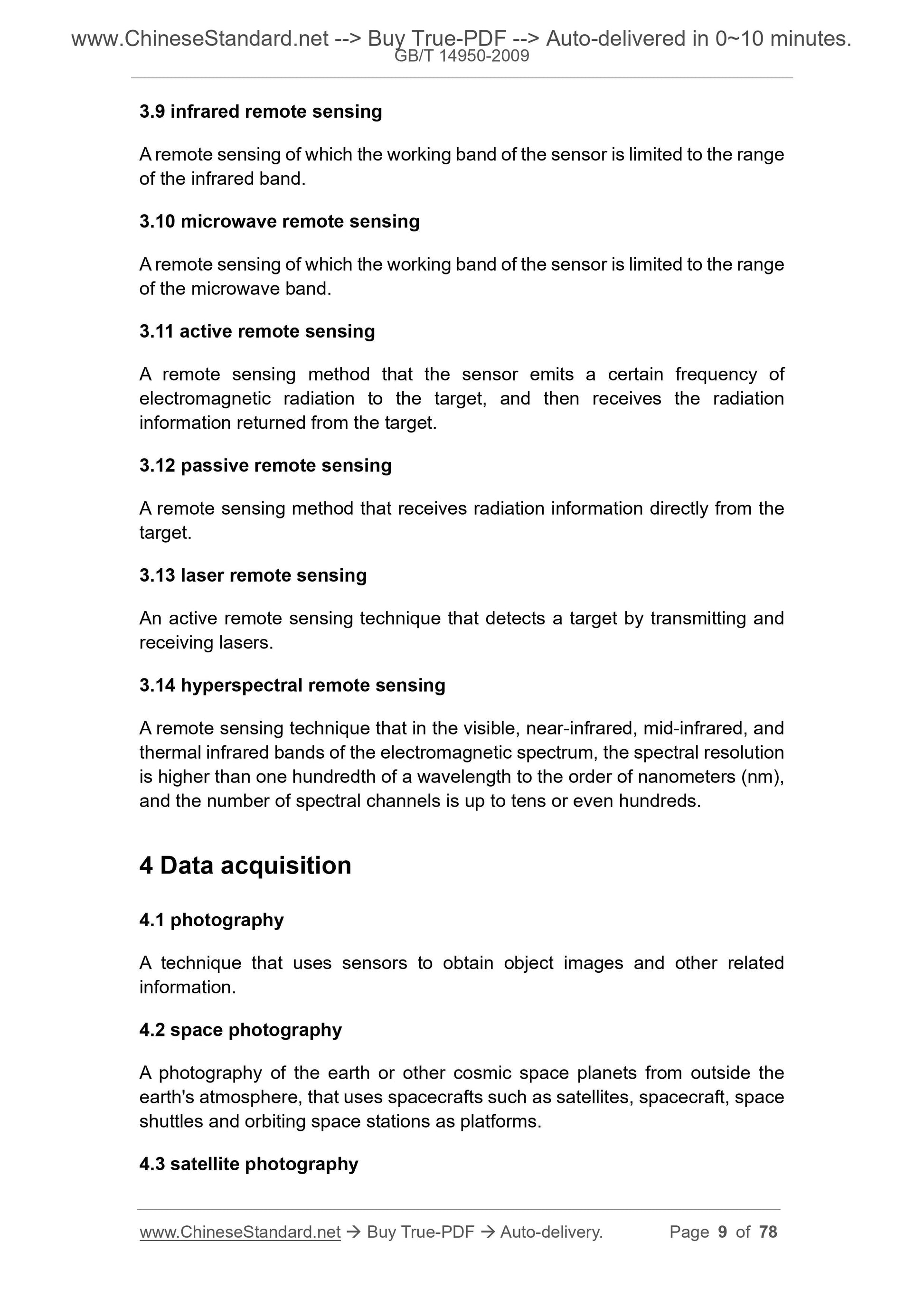
3.9 infrared remote sensing
A remote sensing of which the working band of the sensor is limited to the range
of the infrared band.
3.10 microwave remote sensing
A remote sensing of which the working band of the sensor is limited to the range
of the microwave band.
3.11 active remote sensing
A remote sensing method that the sensor emits a certain frequency of
electromagnetic radiation to the target, and then receives the radiation
information returned from the target.
3.12 passive remote sensing
A remote sensing method that receives radiation information directly from the
target.
3.13 laser remote sensing
An active remote sensing technique that detects a target by transmitting and
receiving lasers.
3.14 hyperspectral remote sensing
A remote sensing technique that in the visible, near-infrared, mid-infrared, and
thermal infrared bands of the electromagnetic spectrum, the spectral resolution
is higher than one hundredth of a wavelength to the order of nanometers (nm),
and the number of spectral channels is up to tens or even hundreds.
4 Data acquisition
4.1 photography
A technique that uses sensors to obtain object images and other related
information.
4.2 space photography
A photography of the earth or other cosmic space planets from outside the
earth's atmosphere, that uses spacecrafts such as satellites, spacecraft, space
shuttles and orbiting space stations as platforms.
4.3 satellite photography
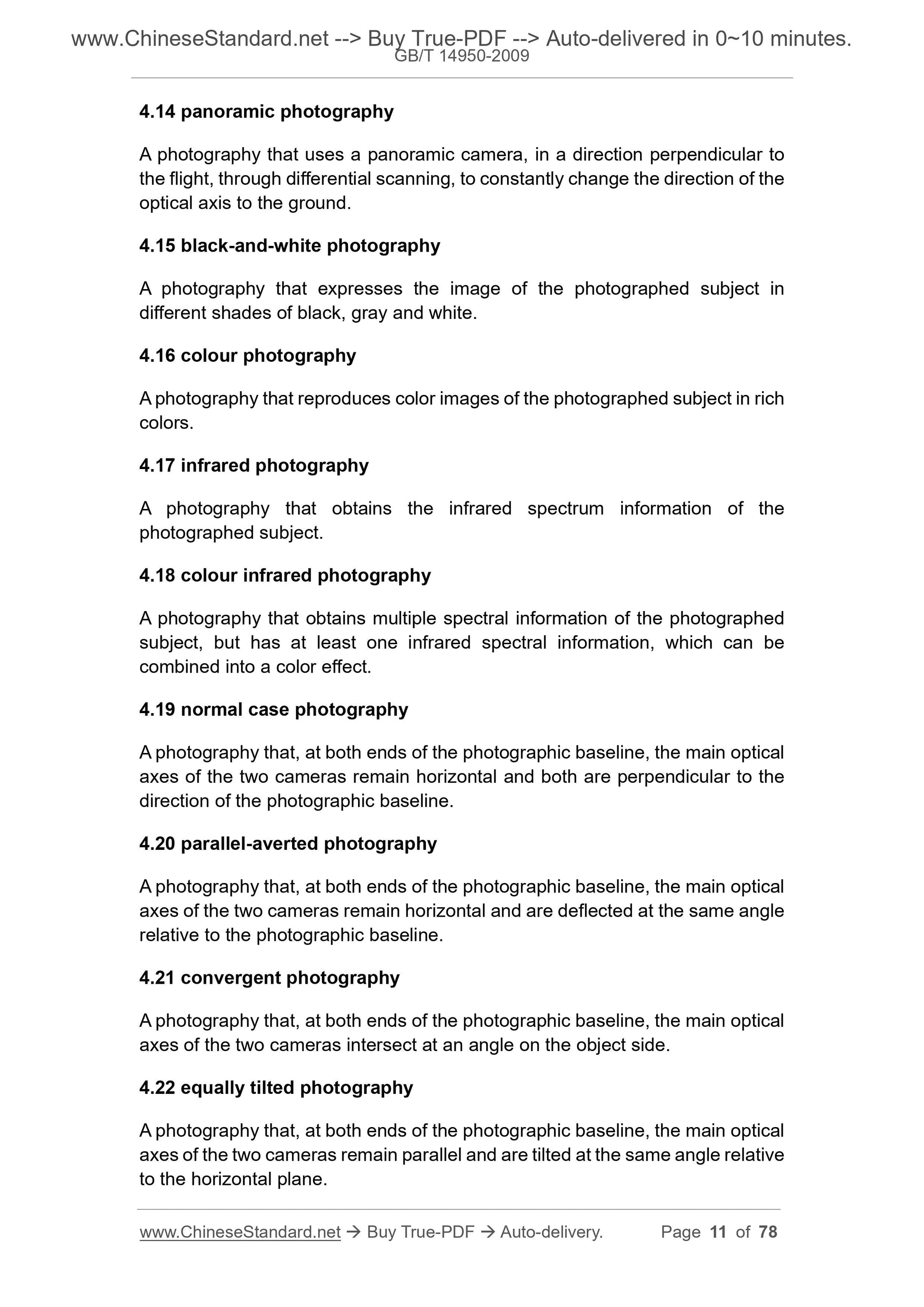
4.14 panoramic photography
A photography that uses a panoramic camera, in a direction perpendicular to
the flight, through differential scanning, to constantly change the direction of the
optical axis to the ground.
4.15 black-and-white photography
A photography that expresses the image of the photographed subject in
different shades of black, gray and white.
4.16 colour photography
A photography that reproduces color images of the photographed subject in rich
colors.
4.17 infrared photography
A photography that obtains the infrared spectrum information of the
photographed subject.
4.18 colour infrared photography
A photography that obtains multiple spectral information of the photographed
subject, but has at least one infrared spectral information, which can be
combined into a color effect.
4.19 normal case photography
A photography that, at both ends of the photographic baseline, the main optical
axes of the two cameras remain horizontal and both are perpendicular to the
direction of the photographic baseline.
4.20 parallel-averted photography
A photography that, at both ends of the photographic baseline, the main optical
axes of the two cameras remain horizontal and are deflected at the same angle
relative to the photographic baseline.
4.21 convergent photography
A photography that, at both ends of the photographic baseline, the main optical
axes of the two cameras intersect at an angle on the object side.
4.22 equally tilted photography
A photography that, at both ends of the photographic baseline, the main optical
axes of the two cameras remain parallel and are tilted at the same angle relative
to the horizontal plane.
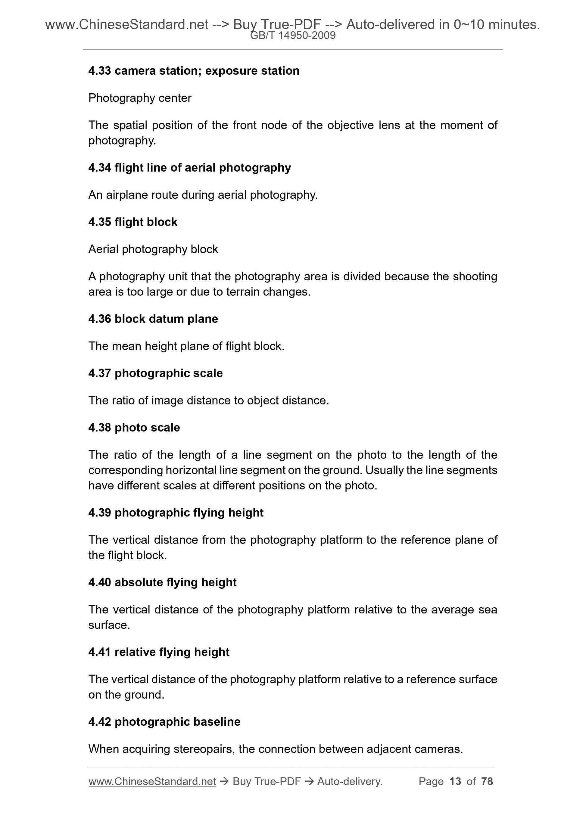
4.33 camera station; exposure station
Photography center
The spatial position of the front node of the objective lens at the moment of
photography.
4.34 flight line of aerial photography
An airplane route during aerial photography.
4.35 flight block
Aerial photography block
A photography unit that the photography area is divided because the shooting
area is too large or due to terrain changes.
4.36 block datum plane
The mean height plane of flight block.
4.37 photographic scale
The ratio of image distance to object distance.
4.38 photo scale
The ratio of the length of a line segment on the photo to the length of the
corresponding horizontal line segment on the ground. Usually the line segments
have different scales at different positi...
Share
